
The USPF Geodetic Engineering department is home to students with exceptional curiosity in spatial development, valor in being a frontliner in land development, and goals for technopreneurship.
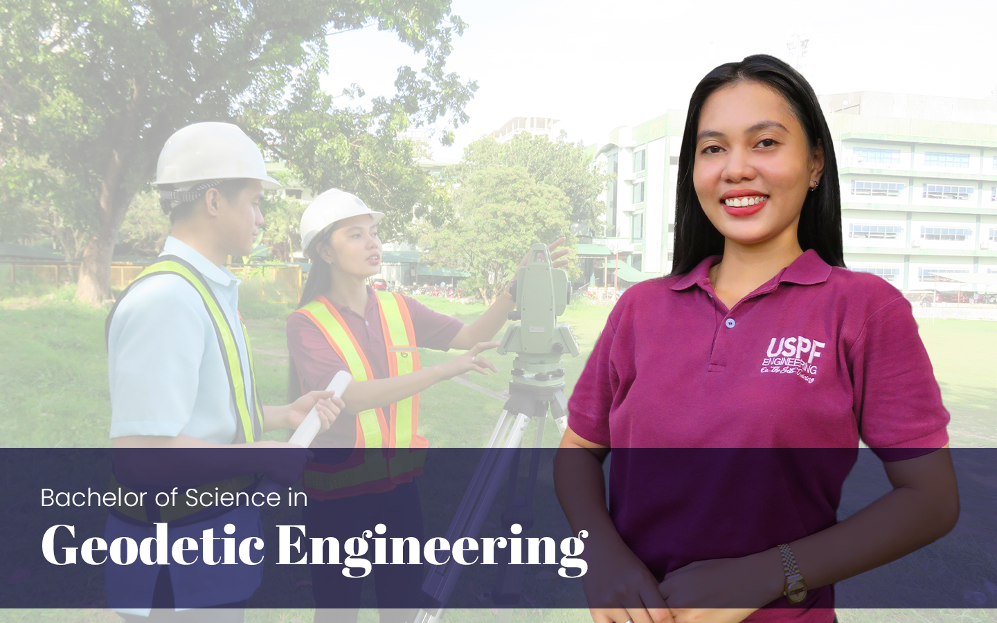
BACHELOR OF SCIENCE IN GEODETIC ENGINEERING
The Geodetic Engineering department hosts a discipline in engineering which deals with the collection and measurement of spatial data above, on, or below the surface of the earth using appropriate technologies and the scientific and methodological processing and management of these data for the production of spatial information systems, maps, plans, charts, and other documents.
Mission Statement
We commit ourselves to producing quality graduates and able citizens that are capable of playing vital professional roles in our country such as but not limited to Land Surveyor, Educator, Photogrammetrist, GIS Specialist, Hydrographic Surveyor, remote Sensing specialist, Information systems engineer/ Consultant, Land development engineer, land administration specialist, project engineer, planning engineer, research engineer, systems analyst, risk analyst, construction/ industrial surveyor, mine surveyor, mapping specialist and technopreneurs.
Program Description
The BSGE curriculum is designed to train students in the field of Geodetic Engineering. It enables them to attain the basic competencies such as establishment of geodetic control network; collection of ground data using various methodologies and techniques; processing, evaluation and analysis of collected data; quality assurance of outputs in accordance with the accepted standards and specifications; conduct of research and development activities; and development of business entrepreneurial skills. It also likewise uphold the dignity and integrity of the Geodetic Engineering Profession.
The curriculum is also specifically designed to meet the educational challenge by emphasizing fundamental knowledge, transferable skills, and lifelong learning.
Program Educational Objectives (PEOs)
After several years of completion of the program, the graduates are expected to demonstrate the following:
-
-
1. Mastery of knowledge, techniques, skills in modern engineering tools necessary for engineering practice,
-
2. Develop one’s professional, social and ethical responsibility and relate these to professional goals,
-
3. Capability in conducting experiments, design, project study/research whether independently or as part of the group,
-
4. Capability in demonstrating global competitiveness in his/her field of specialization to his/her global work environment,
-
5. Work effectively in multi-disciplinary and multi-cultural teams, and
-
6. Engage in life-long learning and an understanding of the need to keep current of the developments in the specific field of practice.
-
Program Learning Outcomes (PLOs)
The Graduates of the BSGE program must have a minimum of the following:
-
-
1. Apply knowledge of mathematics, physical sciences, and engineering sciences to the practice of geodetic engineering;
-
2. Design and conduct experiments to test hypotheses and verify assumptions, as well as to organize, analyze and interpret data, draw valid conclusions, and develop mathematical models for processes;
-
3. Design, improve, innovate, and to supervise systems or procedures to meet desired needs within realistic constraints, in accordance with standards;
-
4. Work effectively in multidisciplinary and muti-cultural teams in diverse fields of practice;
-
5. Identify, formulate, and solve geodetic engineering problems;
-
6. Understand professional, social, and ethical responsibility;
-
7. Communicate effectively through oral, written, print, and other media;
-
8. Understand the effects and impact of the geodetic engineering professions on the environment and the society;
-
9. Engage in life-long learning and to keep current of the developments in a specific field of specialization;
-
10. Know contemporary issues;
-
11. Use the appropriate techniques, skills and tools necessary for the practice of geodetic engineering;
-
12. Know and understand engineering and management principles as a member and leader of a team, and manage projects in a multidisciplinary environment;
-
13. Understand at least one focus area of geodetic engineering practice and apply such knowledge to provide solutions to actual problems
-
CHED Approved Application for Tuition and Other School Fees (TOSF) for AY 2024 to 2025

Tuition and Other School Fees (TOSF) for AY 2024 to 2025

Contact Information
For new applicants who have not completed the requirements, click MESSAGE US.
Message Us